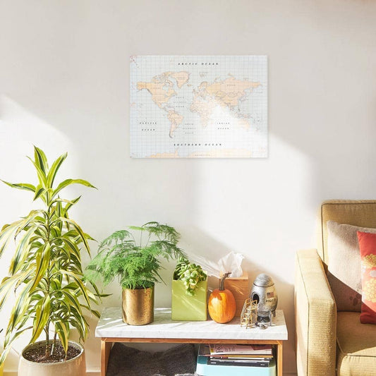
Antique World Map

Ideas for decorating with vintage maps

Decorating walls with antique or vintage world maps is an increasingly popular trend in home decor.
However, before sharing more details about maps and decoration ideas, I'd like you to distinguish two important concepts: antique and vintage.

Old vs Vintage

Antique or Old Map

When we use this term, we are referring to planispheres and atlases you may already have at home. They probably belonged to your grandparents or great-grandparents and you only need to place them in the right corners to create an impressive interior.

Vintage or Retro Map

By this word we mean old maps, interpreted and adapted in a modern key. They are usually in Mercator projection. *Hereyou can read an article in which I explain more about the representations of our planet (it's fascinating!).

Vintage World Map Wall Art

Ideas for decorating with antique or vintage maps

Antique map reproductions

Paintings and prints on wood, cork, paper or canvas, to hang on your walls to give a travelling touch to your home.

A vintage map as wallpaper

A large vintage world map is a great choice for a studio, office, or venue space.

Vintage map prints on decorative objects

Cushions, lamps, boxes and other accessories. An exquisite option for those who wish to add a retro twist to their décor.

Origins of the world map

World maps were created long before satellites and aerial photography. In antiquity, they were cartographic representations that did not accurately reflect the actual shape and size of continents and oceans.

The earliest atlases date back to ancient Babylon and Egypt and were found on clay tablets and papyrus. However, it is the European cartography of the Middle Ages and Renaissance that is best known for its ancient maps. In most cases, these maps were mostly decorative and focused more on religion and mythology than on geographical accuracy.

THE MAP OF PTOLEMY

The most famous ancient planisphere

One of the most famous ancient planispheres is that of Ptolemy, a Greek astronomer and geographer, who created a map of the world in the second half of the 2nd century AD. His version was considered the most accurate for many centuries to come, and was used as the basis for European cartography during the Middle Ages and the Renaissance.

Evolution of vintage world maps

Over time, maps have significantly evolved, in terms of accuracy, format, and content They are valuable for their historical importance and for what they reveal about man's understanding of the world in different eras.

Old maps

The earliest maps date back more than 4,000 years and were based on the information available at the time, which often meant a lack of accuracy in geographical terms.

Medieval maps

During the Middle Ages, cartography focused on religion and mythology and maps were frequently decorative but not very precise.

Renaissance maps

In the 15th century, maps began to be based on empirical observation and better measurements. Renaissance maps, such as Mercator's, were focused on geographical accuracy and correct projection.

Modern maps

During the era of great exploration and colonization, maps became increasingly detailed and accurate, including new features such as altitude, temperature and atmospheric pressure.

You may also like...

Cork Maps

Mystical Maps

Wooden Maps